This is what I sent last week to Craig Jensen, who will bind Lac Des Pleurs, so that he could prepare an up-to-date dummy for CODEX. The entire text, with all but the last page of appendices has been set (I am out of sorts), and was proofed on the damped English handmade paper that the final book will be printed on. Three of the eight engravings have now been printed for the edition. The remaining five are represented in the dummy, either by proofs of the key blocks (those that have been cut) or drawings. The thirty-two Surber blocks (see March 19 entry) are also present, having been proofed on the English paper. On the right is the final design that Jemma Lewis came up with for the marbled cover papers (see October 17). On the left, at long last, is the finished, printed map.


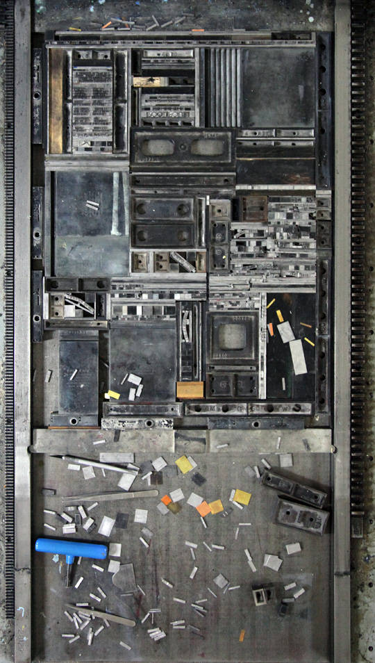
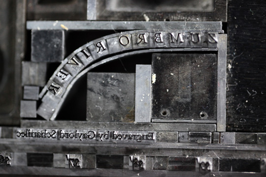
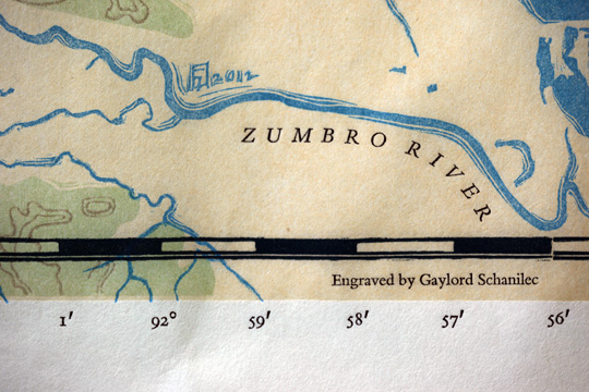
Robert Rulon-Miller urged me to make a border marking longitude and latitudinal lines. It was a happy coincidence that the 92nd longitude crosses the lake. By a stroke of luck I found 12 point degree and and minute symbols in a case of obscure sans serif type that was discovered in the type library dregs out in the garage. What’s more the weight of the symbols matched perfectly that of the Bembo figures.
Here is the finished map. The joining of the two sections was made with a butt joint at the suggestion of Timothy Barrett (see August 5), who also supplied the mending kozo paper that was used on either side of the map paper to secure the joint.
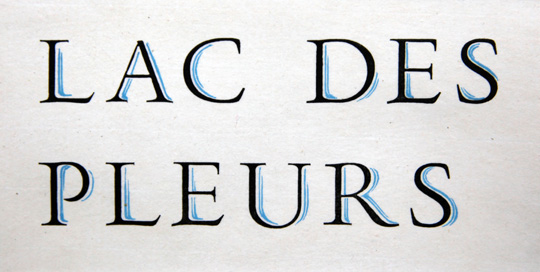
And a proof of the titling type (see October 17). I plan to re-cut the blue for the actual printing of the book, as I clearly see room for refinement, but for now, for the dummy, the water is fine!


